Scalar City
What
Where
When
For
Where
When
For
Imaginary City Illustrations
UC Berkeley
2020
Arch 229
UC Berkeley
2020
Arch 229
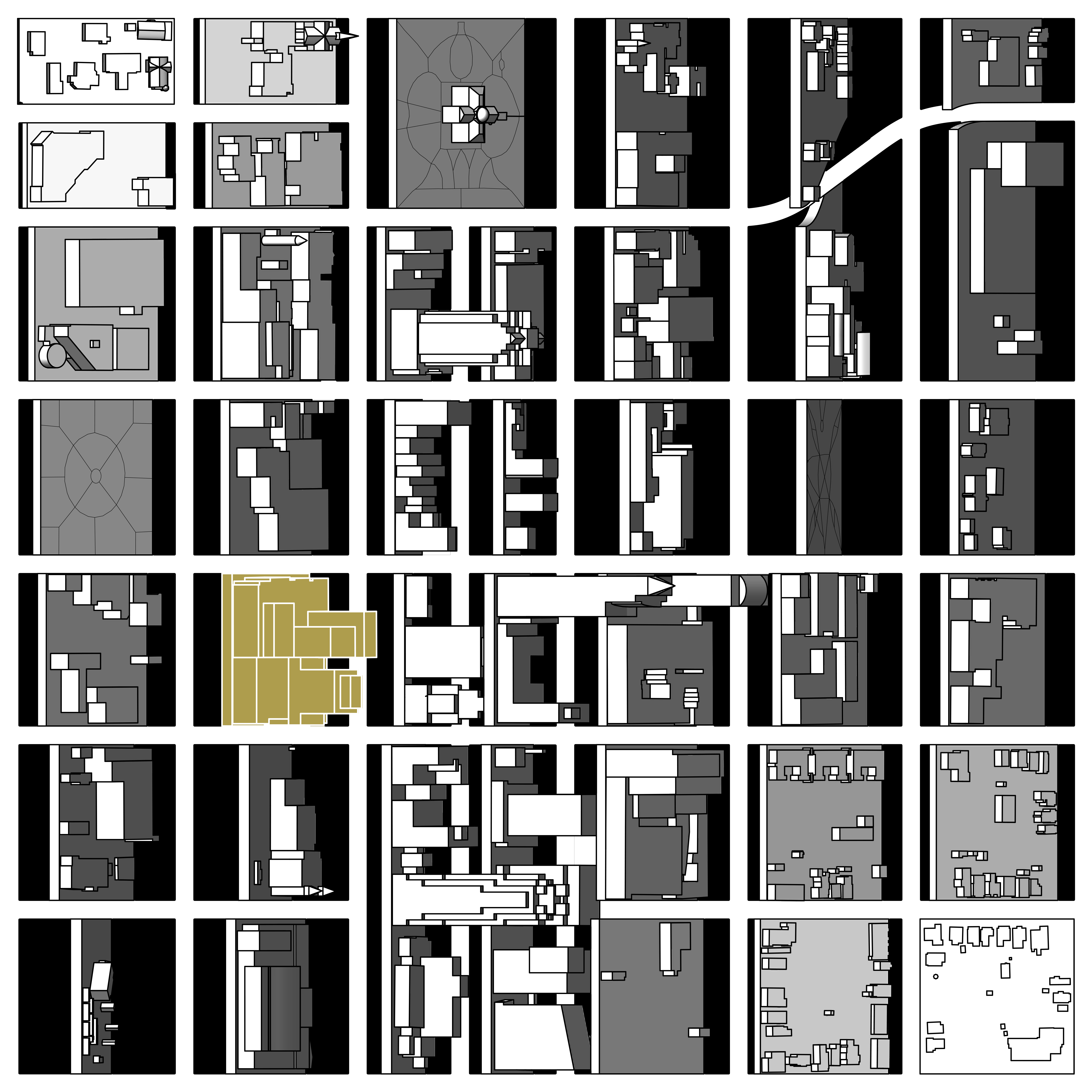
Drawing Cities was a course about graphic and narrative representation, using an imaginary city as the subject. The Scalar City is composed of modified shapefile data from disparate regions of the globe, portrayed through a sequence of cascading scales, each providing a different interrogation into the way that we build. The city depicts an urbanism that transcends space and creates a spectrum of experience from the voyeur to the flaneur and back again.
The story of the Scalar City begins with a scale beyond the city itself. This first drawing portrays the pathways of the national highways system across several provinces in southeastern China. Developed to connect distant places across a sprawling country, the highways paradoxically facilitate a stark lateral division of the landscape, almost as impervious as the asphalt itself. This division is exaggerated through an interpretive pattern of extrusions that drag the chopped topographic contours with them.

Becoming swept up in the gold rush, early urban planners hastily draped a rigid grid over the dynamic topography of our familiar San Francisco. This is somewhat of a caricature drawing of the City done by adopting its USGS contours to be even more crudely rained upon by a package of rigid extrusions, descending from the isometric dimension of our default design mode. This time, however, the topography asserts itself through a simple collision simulation to create a more responsive, emergent arrangement.

This drawing is a reinterpretation of downtown Raleigh, North Carolina, my home city. Its creation process was inspired by the city’s most iconic public art installation, a large grid of square panels that individually rotate and collectively ripple in the wind. Similarly, the wind becomes an agent of change in modulating static city blocks whose complaisance reveals this otherwise invisible force, tearing its way through the grid in a comparable path to the wind patterns of the region.

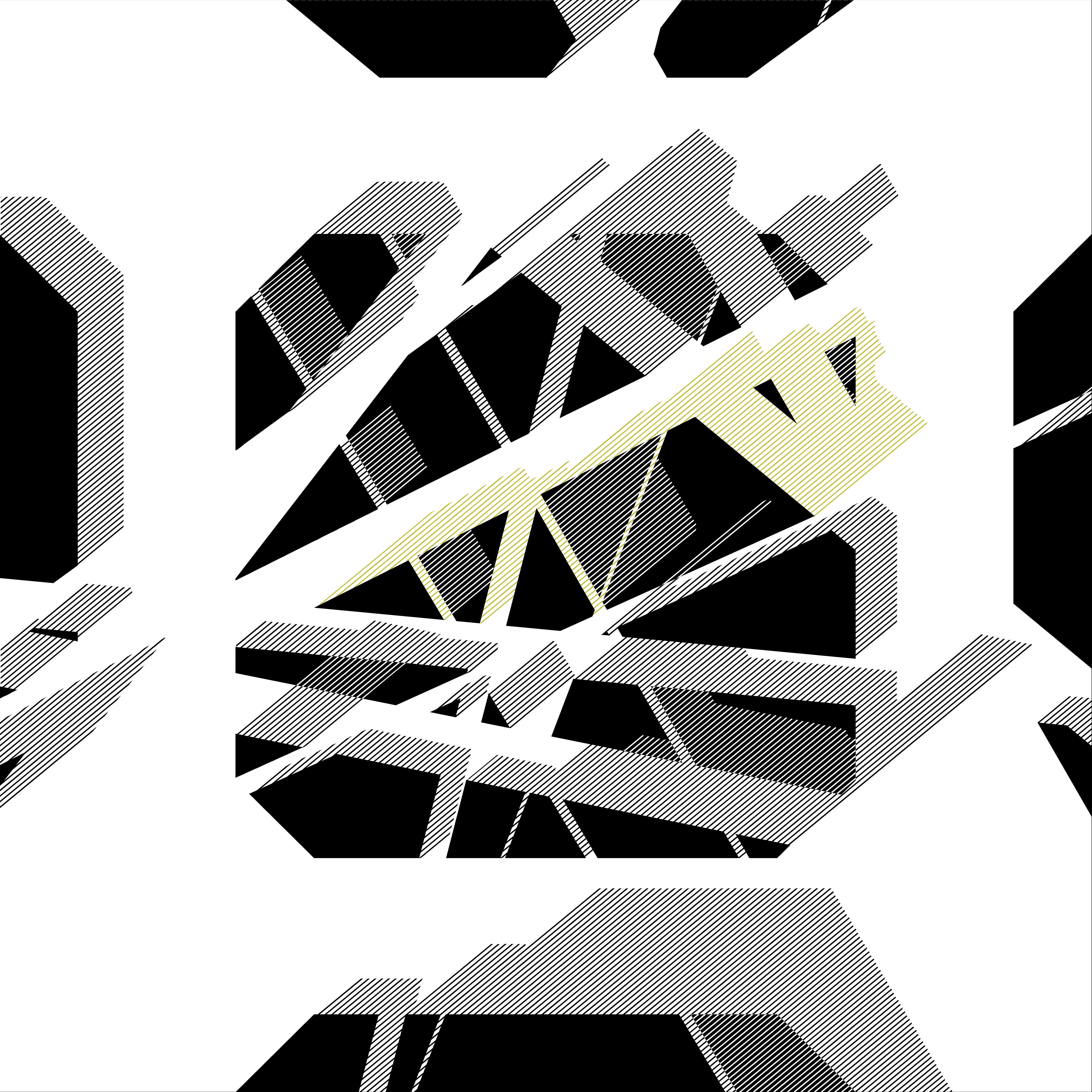
Perhaps no city block figure is more identifiable than that of Barcelona. However, these figures remain vulnerable to carving by avenues bisecting their grid. This drawing attempts to ask: How much carving can a figure sustain before it is not more? - fragmented beyond recognition into a constellation of independent offspring. What sort of new figure-ground relationships result from these operations and what influence does the transient dialogue of shadows have between the two?

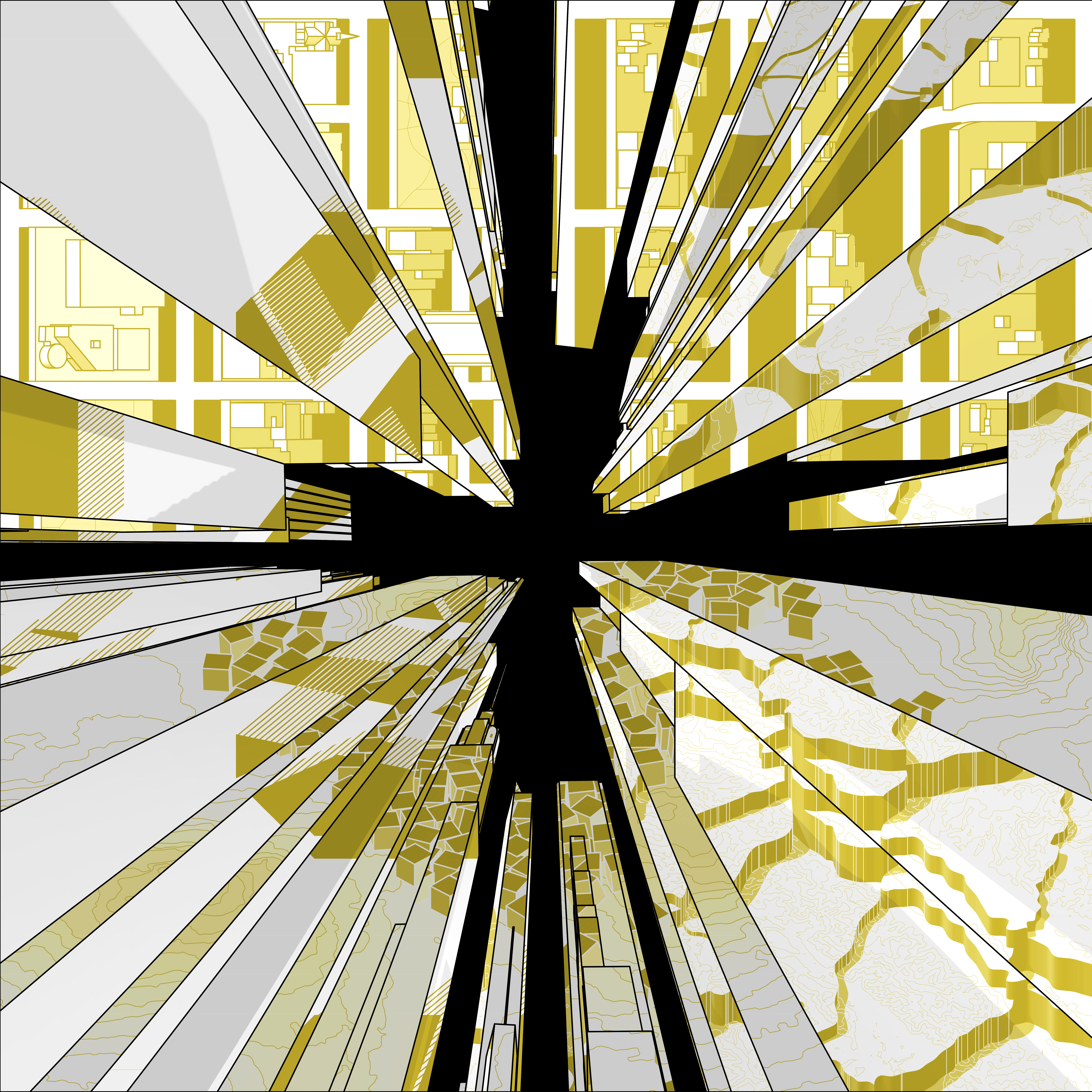
More people find themselves in Times Square than almost any other public space in the world. One of our natural fascinations with this space is the onslaught of advertisements, but not necessarily for consumerist instincts, but perhaps rather for the odd sense of pleasure we get from the disorienting cacophony of lights burning into our retinas. Tripping over each other for attention, the images lose their individual meaning and instead aggregate into a new global image; global in the sense of their composition but also in the sense of the potential behind these screens to represent nearly anything, anyone, and anywhere from across the world. The four orientations of Times Square facades in this drawing are each treated as different screens, projecting one of the previous images to create a kaleidoscopic experience that assembles their information but also invokes a vague sense of something more. These vicarious perspectives of scale are not typically associated with that of the grounded flaneur, and yet by the same virtue, here we are together being transported.
